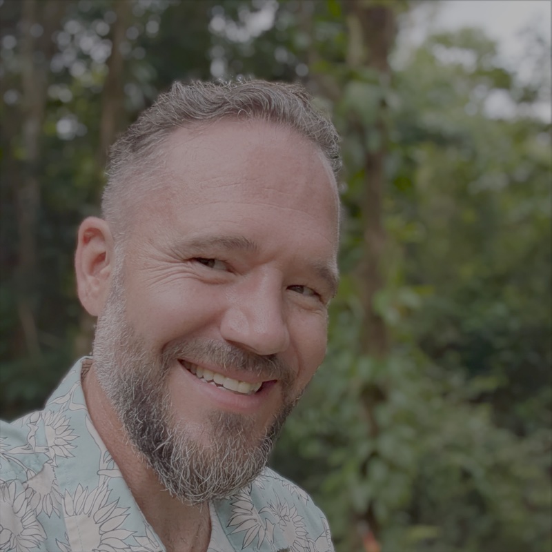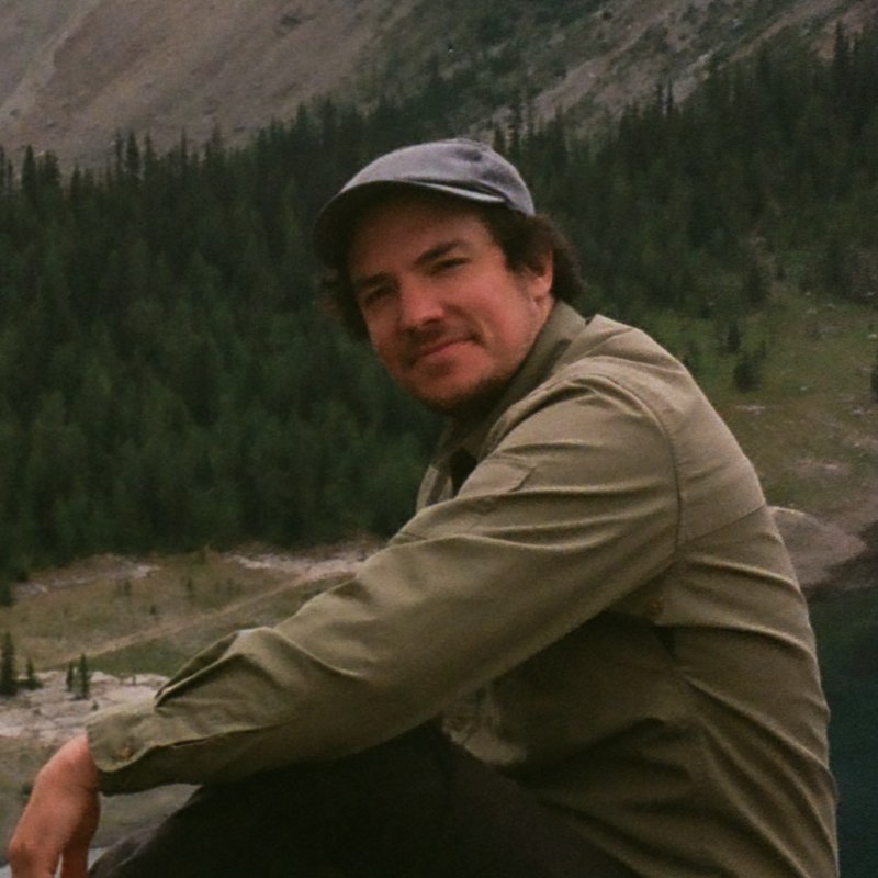
Mitch Rawlyk
Founder & CEO
Mitch didn’t come to this work through software first. He came to it through a question about land.
As a kid on his grandfather’s farm, he noticed horsetail growing in one low spot beside a creek and wanted to understand why it grew there and nowhere else. That curiosity led him into earth systems science, applied meteorology, geography, GIS, and years of studying how terrain, water, climate, and landscape patterns shape what is possible on the ground.
He encountered the same challenge from several angles. As a scientist, he studied how natural systems function. As a teacher, he led geography, GIS, mapping, and climate labs. He also taught the mapping and climate sections of permaculture design courses, helping students connect environmental patterns to practical land decisions. Through years of answering support emails for a terrain-mapping product, he heard where people struggled to access, interpret, and apply geospatial information.
The gap was clear: important information about terrain, water, and climate often existed, but it was difficult to turn into clear, usable decisions. The tools were technical, the data was fragmented, and the analysis was often disconnected from the actual work of designing, managing, or investing in land.
Mitch experienced this firsthand on his own property in Central Alberta. Using LandScope, he was able to understand the terrain, water movement, and ecological patterns quickly, then use that information as a digital sandbox for planning. Before moving soil, planting, building, or implementing a design, he could model possibilities and make decisions with a clearer understanding of how the property worked as a whole.
That process helped Mitch and his partner grow much of their own food and shape the property around the land’s existing patterns rather than fighting them. When they eventually sold, the buyers remarked that everything had been laid out thoughtfully and made sense.
That experience reinforced what Mitch had been learning through science, teaching, and supporting other users: land intelligence is most valuable when it changes what you do.
Mitch started LandScope in September 2024 to make complex land information faster to access, easier to understand, and more useful in real decision-making. His work sits at the intersection of earth systems science, software, mapping, climate, and practical land design.
He believes good design begins by asking what the land is already telling us. Water should be understood before it is moved. Extreme conditions should be planned for rather than averaged away. And maps should support observation in the field, not replace it.
His goal is simple: help people understand a place well enough to make decisions that work with the land instead of against it.